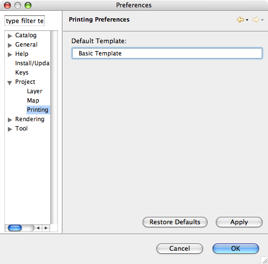
Project Preferences
Project preferences and its children provides options for modifying the defaults and behavior of creating projects and the elements that can be contained by projects.
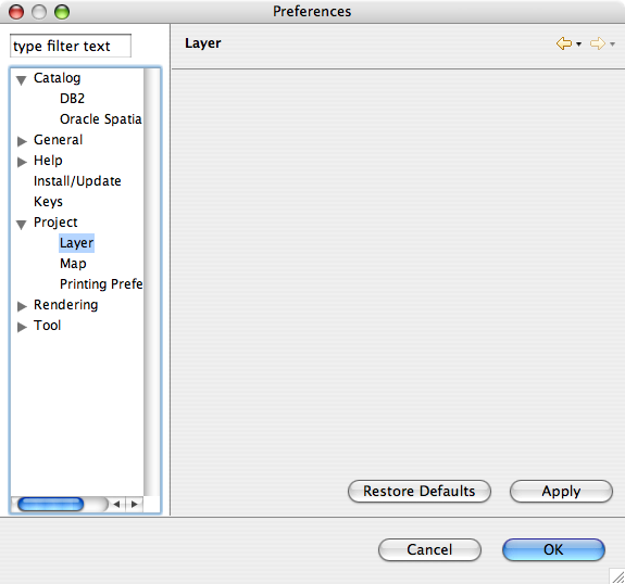
Layer Preferences
Currently there are no layer level preferences that can be set. Future versions will provide options that can be set for layers.
Map Preferences
Map Preference page is used to supply system wide defaults for the Map Editor.
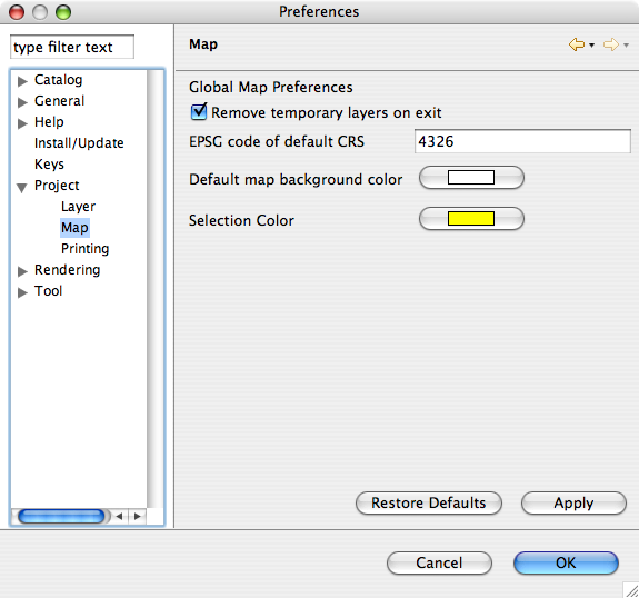
Remove Temporary Layers on exit
When checked this option will remove temporary layers from the map. If it is not checked the layer will stay in the map, but all data is lost since the layer is temporary. This option can be useful if the FeatureType is complex and recreating the FeatureType can be time consuming.
Default is checked
EPSG code of default CRS
Declares what the default CRS is, a value of -1 is used to indicate that the value should be determiend from the data.
You may wish to change this setting when working with a large number of shapefiles that make use of the same projection.
The default value is -1.